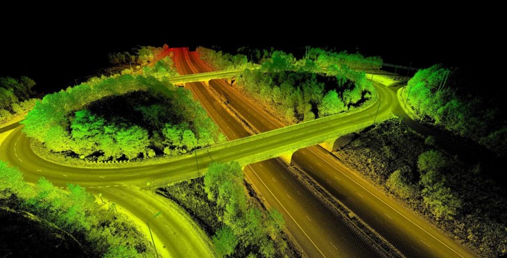
The aim of the project “Data Fusion & Smart Automatic Classification of Satellite Multisensor/Multiband SAR and Optical Data – MUSAR” is to exploit EO (Earth Observation) data in the research area related to Natural Hazards within the management and maintenance strategies of road infrastructures and road works of art (viaducts and underground works). The intention, pursuing the scientific objectives, is to provide new tools for the monitoring of the territory and infrastructures, with particular focus on road networks and road works that are developed in environments with high geological hazards, which can be implemented through a continuous multi-parametric monitoring of the territory.
The project is developed along two parallel lines of research that include the following activities and scientific objectives:
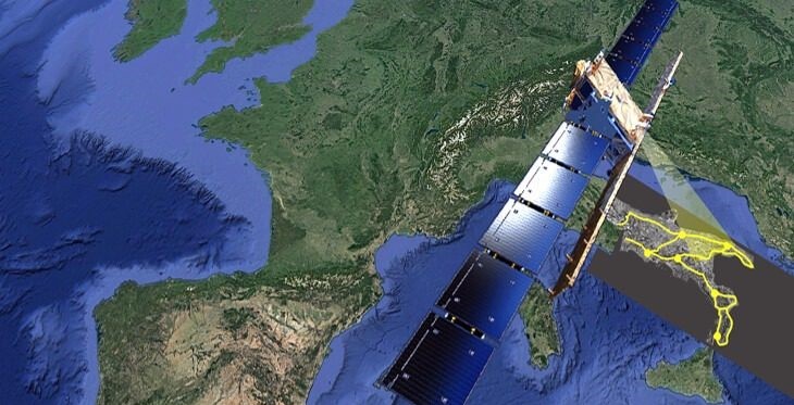
- Data Fusion: formulation of innovative algorithms able to exploit the integration of different types of multi-sensor and multi-band EO data (both SAR and optical), for the following scientific goals and objectives:
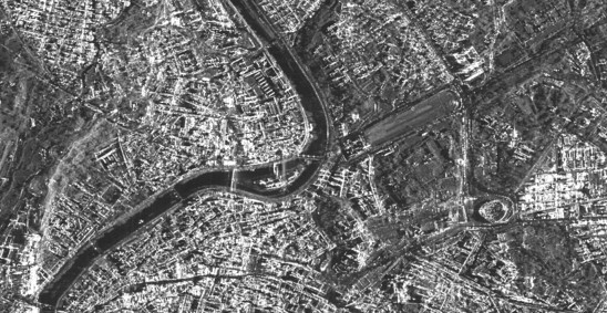
- New multi-image algorithm for the integration of Differential (DInSAR) and Advanced (A-DInSAR) InSAR techniques for the reduction of limitations related to ambiguity of and spatial and temporal signal decorrelation at impulsive deformation phenomena of hydrogeological instability (such as landslides, sinkhole phenomena and localized subsidence) that often evolve in rural areas with lack of stable natural and artificial reflectors.
- Integration of multi-sensor and multi-frequency A-DInSAR results (e.g. ERS, Envisat; COSMO-SkyMed; Sentinel-1 and SAOCOM) for the generation of GD-Markers (Ground Deformation Marker), i.e. “synthetic measurement points” representing the deformation behavior of the entire observation period and able to integrate the displacement contribution of the different bands, in terms of mean velocity, direction and displacement time series.
- 3D displacement field estimation by integrating SAR and optical satellite data.
- Automated Smart Classification: development of a chain of analysis based on Machine Learning (ML) methods for the identification of correlations between displacement information (obtained with multi-sensor and optical SAR satellite image analysis technologies), natural phenomena and deformation processes of structures, to be applied in the management strategies of transport networks, and more generally of linear infrastructures.
The project is developed by the proponents NHAZCA S.r.l. (Natural Hazards Control and Assessement) and CERI Research Center (Research Center for Prediction and Prevention of Geological Risks) of the University of Rome “La Sapienza” with the general objective of extending the exploitation of EO (Earth Observation) data in the research area related to natural hazards in the management and maintenance strategies of road infrastructures and road works of art (flyover and underground works).